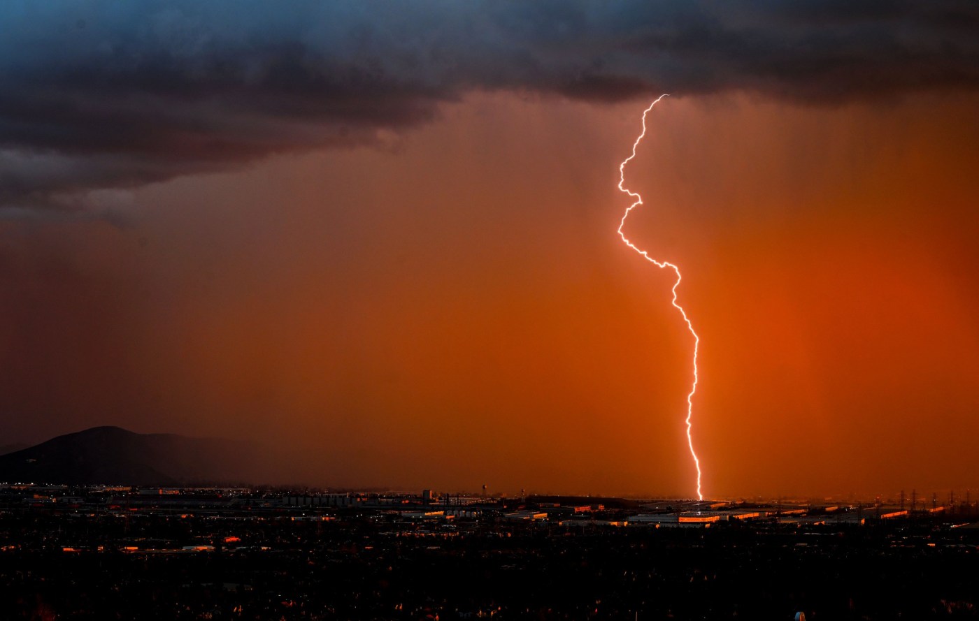
The late-summer heat wave took a turn overnight Friday and into Saturday, when a lightning and thunderstorm moved through Southern California, sparking multiple fires in the Angeles National Forest and elsewhere.
Forest officials reported separate lightning fires southwest of Little Rock, near Table Mountain, an area of Sunset Peak west of Mt. Baldy and near Old Ridge Route south of state Route 138. There was no indication that any of the fires posed an immediate danger.
The National Weather Service issued a special weather statement warning of a strong thunderstorm impacting northeastern Los Angeles County through the morning.
Farther south, firefighters knocked down a small vegetation fire in Trabuco Canyon that was ignited by a lightning strike, according to the Orange County Fire Authority. No homes were threatened.
In Riverside County, firefighters were battling the Vail fire, which burned at least 55 acres Saturday in a canyon northeast of Temecula. The fire was reported just before 8:30 a.m. near Vail Lake Dam, north of Highway 79.
By noon, the fire was 25% contained and burning deep in remote terrain. The cause of the fire was not immediately known, but there were reports of lightning in the area, said Maggie Clone De La Rosa, public information officer for the Cal Fire/Riverside County Fire Department.
The thunderstorm was expected to pass by the early afternoon, but the foothills of LA County remained under a red flag warning for fire danger until at least 9 p.m. Saturday, and elevated fire conditions were expected until Monday night.
The NWS also predicted a risk of further thunderstorms through Tuesday, especially over mountains and deserts.
Extreme heat warnings were in place until at least 9 p.m. Sunday in the Santa Clarita Valley, western Santa Monica Mountains Recreational Area, Calabasas, Agoura Hills, San Fernando Valley, San Gabriel Mountains, Antelope Valley, Antelope Valley Foothills, San Gabriel Valley and the 5 and 14 freeway corridors.
Those areas could see temperatures of over 100 degrees, forecasters said.
“Temperatures are definitely trending cooler today, in some areas as much as 4-8 degrees cooler than yesterday at this time,” the NWS said. “However, humidities are up 15-30 percent over yesterday with the monsoon moisture in the area so while it will be cooler, the added humidity will make it feel warmer and more uncomfortable.”
Staff writer Sydney Barragan and City News Service contributed to this report.