Southern California will complete its transition from cold and cloudy to hot and sunny, with a mini heat wave expected to arrive in time for the weekend.
“To get the heat this late in the season is not unusual, but it is going to be hot and will be a shock to the system. We haven’t seen temperatures like this in months,” KTLA Meteorologist Henry DiCarlo said Thursday.
High pressure will continue to build over the region through Sunday, with the hottest days expected on Friday and Saturday, according to the National Weather Service (NWS).
Afternoon highs are likely to be 10 to 20 degrees above normal on those days, with the Inland Empire looking at some areas reaching as high as 98 degrees.

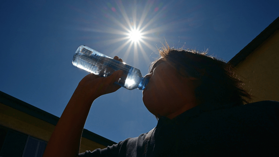
Officials urged people to stay hydrated and limit their outdoor activity when temperatures peak in the afternoon.
“Closer to the coast, continued onshore flow will keep the warming trend at some beaches and coastal areas moderated,” the NWS stated in its Thursday morning forecast.
Wind gusts up to 25 mph are expected to arrive Thursday through Saturday for some inland areas, but no wind advisories have been issued.
“So, this is good news. We’re hot and breezy, but we want to stay away from those excessive gusty winds. A hot day with strong windy conditions and wind advisories, that would really pump up our concerns for fires,” Henry said.
An onshore flow is expected to strengthen next week and bring cooler conditions with low clouds and fog back into the valleys.