Sunny skies on Valentine’s Day are expected to give way to a strong, windy, multi-day storm beginning Sunday, with even weak tornadoes possible, forecasters say, as Southern California weather proves winter is not over just yet.
“There will be a cold, blustery and rainy week,” said Ariel Cohen, a meteorologist with the National Weather Service. “It’s a big change from this past week.”
If you’re looking to head to the beach for the holiday weekend, the weather along the coast will be about average – dry and mild in the 60s on Saturday, Feb. 14 – while inland will see temperatures in the low 70s, said NWS forecaster Adam Roser.
Temperatures will dip on Sunday, with possible coastal drizzle by the evening, so bring a coat and bundle up if you plan on taking a sunset stroll on the sand or a pier.
Waves are expected to be in the 3-to-4 foot range on Saturday, a bit smaller on Sunday. Be aware that high tides are happening in the morning hours, which means less sand to enjoy.
The optimal time for a romantic walk on the sand or to explore tide pools would be in the afternoon, when negative tides mean more beach space at around 2 p.m. on Saturday, and closer to 3 p.m. on Sunday.
Conditions on the coast will take a dramatic turn on Monday and into early next week, when the storm will also bring big surf, with waves in the 4-to-6 foot range, and higher on Tuesday and Wednesday.
Combined with rain and high tides in the morning hours, it could spell trouble for coastal areas.
“We may see some areas of heavy rain, possibly some flooding on the roads. That is definitely a concern,” Roser said. “Stay safe out there and enjoy before the rain comes in.”
When it does, flood risks and strong winds are expected, Cohen said.
Inland Orange County will see slightly warmer temps than the coast as the storm begins, with the lowest temps expected to be in the high 40s and low 50s, and the highest in the low 60s.
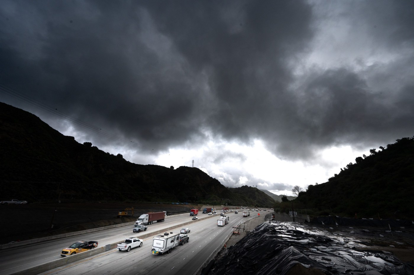
The storm is expected to begin midday to evening on Sunday in the Los Angeles area, with a burst of very heavy rain that could bring roadway flooding and rock and mudslides.
In the San Fernando Valley, temperatures throughout the storm will hover around a high of 60 degrees, with low temps in the 40s. Coastal Los Angeles will see similar winds, with temperatures in the high 50s and low temperatures in the 40s.
Los Angeles County’s mountains and coastal areas will see the most wind, with the potential for gusts between 25-40 mph, Lisa Phillips, a meteorologist with the NWS.
“We are looking for this particular weather system to also come with a lot of wind energy and so we’re going to have the potential for strong wind gusts, even some damaging wind gusts, maybe even a couple of weak, brief tornadoes to occur as well when that storm system comes through on Monday,” Cohen said.
On Monday night, flood risks are expected to decrease, but some risk will remain as “more rounds of rain stack up over the saturated ground,” Cohen said.
Flooding in Los Angeles’ coastal areas may also be a concern.
The expected rainfall for the storm in Los Angeles is 2.5 to 3 inches, Phillips said.
Mountain areas will get a lot of snow, especially above resort level, as will the Grapevine and possibly the 5 Freeway corridor area, according to Cohen.
“It’s not expected to exceed the impacts from the Christmas storm at all, but we are seeing potential for something along the lines of the October storm, and just encourage everyone to be prepared as it’ll be coming during the day, so more likely to impact more people,” Cohen said.

While the heaviest rain in Orange, Riverside and San Bernardino counties is expected Monday afternoon, the storm will extend through Wednesday and possibly later into the week with off-and-on showers mixed with some clouds and cooler weather, Roser said.
San Bernardino County should see temperatures in the high 60s at the warmer end and the low 40s on the cooler end. The mountain areas of the county are expecting highs around 50 degrees and low temperatures dipping into the 20-degree range.
Riverside County can expect temperatures to peak around 60 degrees, with a low around 45. The mountains of Riverside County will also be cooler, with highs in the low 40s and lows in the low 30s.
Inland Empire rainfall totals are expected to be around 2 to 2.5 inches in most areas, with higher mountains’ totals forecast at closer to 3 inches, Paul Steward, meteorologist with the NWS said. In the San Bernardino Mountains, higher totals are expected, such as in the Lytle Creek area, where 8 inches of rain are forecast, according to Steward.
Orange County rain totals are also expected to be around 2.5 to 3 inches in coastal and inland areas.
Mountain areas will see higher totals and some areas of the Santa Ana Mountains may see around 5 inches of rain with this storm, Steward said.
The strongest wind gusts in Orange County will be up to 50 mph in the Santa Ana Mountains. Laguna Beach and coastal areas could have 30 mph gusts, with some 35-40 mph gusts near Huntington Beach, and 30-35 mph in Irvine, Steward said.
In the Inland Empire, the strongest gusts will be north of Hemet through the San Jacinto Mountains, Steward said. Up into northern areas of the Inland Empire, there will be some stronger gusts, approaching 45-50 mph, near Ontario toward Running Springs and the Cajon Pass.
The storm will bring “pretty good” snow to the mountains, including Wrightwood, Lake Arrowhead and Big Bear, where some spots may get around a foot of snow, Roser said.
Even a light snowfall could lead to traffic slowdowns, ice on the roads and hazardous conditions, including at the Cajon Pass and other areas of the 15 Freeway.
On Monday in San Bernardino County, snow is expected to fall to 4,500 to 5,000 feet, Steward said.