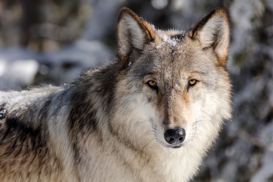
California wildlife officials have launched a public mapping system that displays the approximate locations of GPS-collared gray wolves across the state, offering a new tool for livestock producers to protect their herds.
The California Department of Fish and Wildlife announced the system’s debut Thursday, emphasizing its purpose as a proactive measure to reduce wolf-livestock conflicts.
The Wolf Location Automated Mapping System displays the last known position of each collared wolf within a nearly 4.5-square-mile hexagonal area. Users can click on the map to view general location data, the pack’s name and the most recent transmission date.
“California’s rural livestock producers living near wolves have faced real challenges as the wolf population grows in California. This is one more tool in our shared toolkit to protect their herds from wolf-livestock conflict,” said CDFW Director Charlton H. Bonham.
Bonham vowed that the Department was focused on transparency and partnering with local communities and ranchers to ensure they “have the knowledge they need to help prevent conflict.”

The tool only tracks wolves fitted with GPS collars, which currently number 14. Collared wolves transmit data several times daily, and CDFW updates the map every morning.
Specific sensitive data, such as den sites during pup season, will be withheld to help prevent harassment or illegal activity. Officials said the Department also reserved the right to shut down the system if the data is misused.
The Center for Biological Diversity welcomed the new system, noting its potential to improve coexistence between wolves and ranchers.
“I’m hopeful that livestock operators will responsibly use the map to head off conflict,” said Senior Wolf Advocate Amaroq Weiss. “Livestock-wolf conflicts are rare but both ranchers and wolves will benefit if we make them rarer still by giving a heads up when wolves are in the area so ranchers can act responsibly.”
California’s wolf population has been steadily growing since OR-7, a collared male from Oregon, crossed into the state in 2011. Wolves are listed as endangered under both state and federal law, and it is illegal to kill them except in defense of human life.
For additional information, click here.