Humid weather and scattered thunderstorms are expected across Southern California through Friday as moisture from the remnants of Tropical Storm Mario moves into the region.
Forecasters say the tropical moisture arrived ahead of schedule, raising humidity levels and keeping overnight low temperatures warmer than usual.
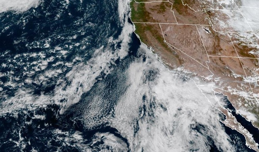
“There’s a great deal of energy offshore west of the California shoreline,” KTLA weather anchor Kaj Goldberg said, pointing out increasing lightning strikes on the radar Thursday afternoon. “All of this moisture is coming from the remnants of the tropical storm. It continues to keep that moisture together.”
The National Weather Service says the highest chance of rain and thunderstorms will come early Thursday. Rainfall amounts will vary; most areas expected to receive about half an inch, while some mountain locations could see up to an inch.

Isolated areas may get up to 2 inches if stronger storms develop.
Goldberg said the showers will spread across the Los Angeles Basin, Orange County, inland valleys, the mountains, and the Inland Empire throughout the day.
The warm, muggy weather is expected to continue into the weekend, with a slight chance of afternoon showers over the mountains.