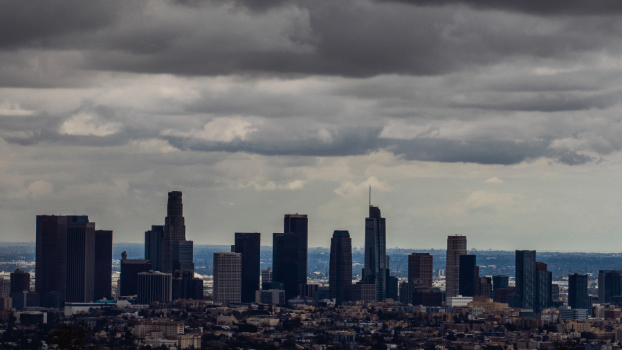
June gloom returned on Monday, bringing a few degrees of cooling as forecasters eye a chance of rain and thunderstorms later in the week.
The National Weather Service (NWS) is calling for a low-pressure system to push some moisture from the east back toward Southern California on Tuesday.
“Talk about some rain. Maybe, middle of the week … Could bring us some thunderstorm activity Tuesday into Wednesday,” KTLA Meteorologist Henry DiCarlo said.
Any shower activity is expected to remain mostly inland. “Really hard pressed to get anything significant for the coastal areas … Really, it’s for the valley locations up towards the mountains and the foothills,” Henry added.

Although forecasters are not expecting much in the way of rain totals, thunderstorms are often capable of producing a lot of rain in a short amount of time, leading to a chance of debris flows.
The effects of the low-pressure system are expected to end early Wednesday, allowing for a small warming trend to develop for the rest of the week and into the weekend.
“By Sunday, most max temps should be above normal,” the NWS stated.