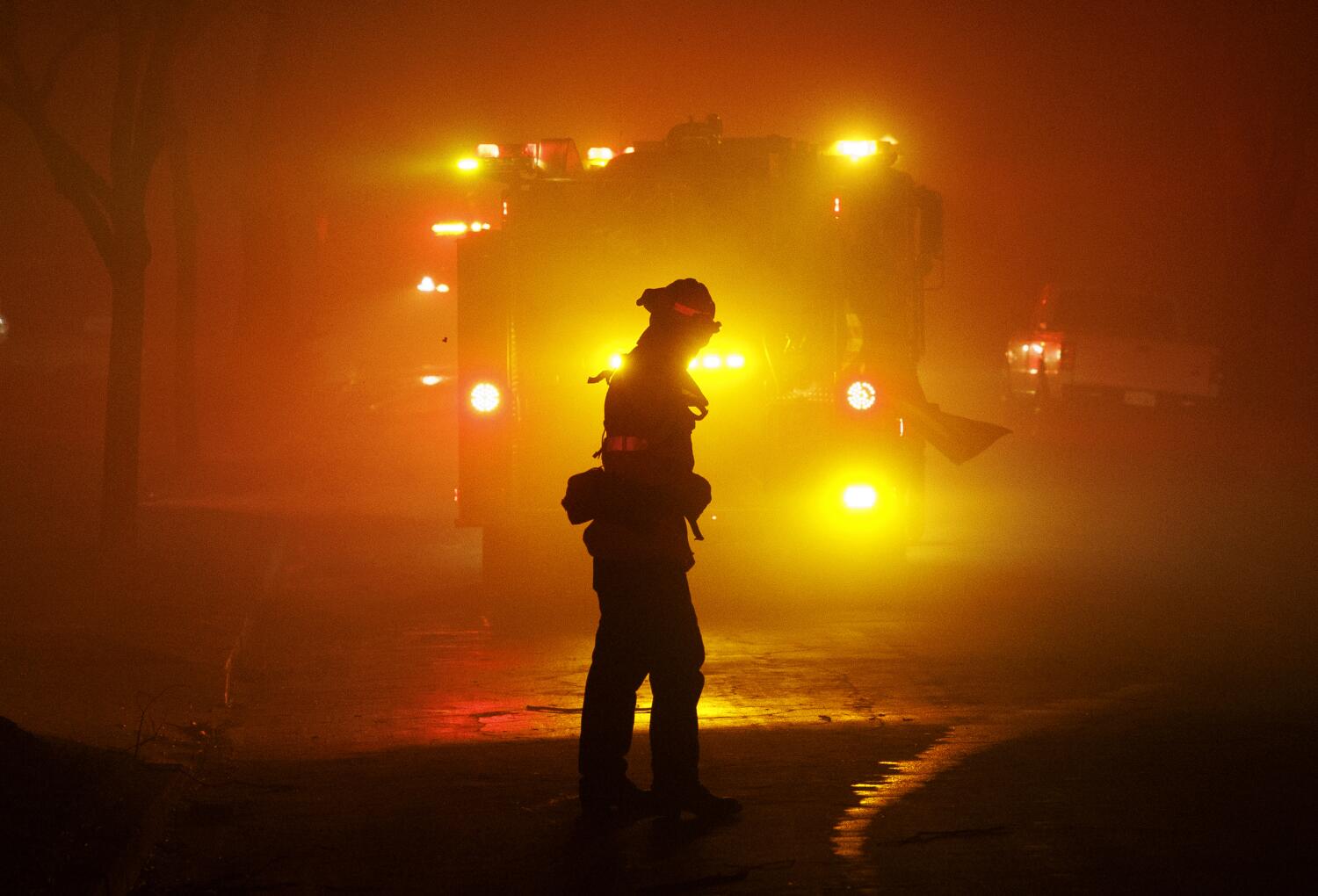
A federal program that uses military satellites to track wildfires is particularly useful when aircraft are grounded, as occurred in the Eaton fire. But despite its availability, the L.A. County Fire Department did not use the intelligence. Experts say it could have better informed evacuations.