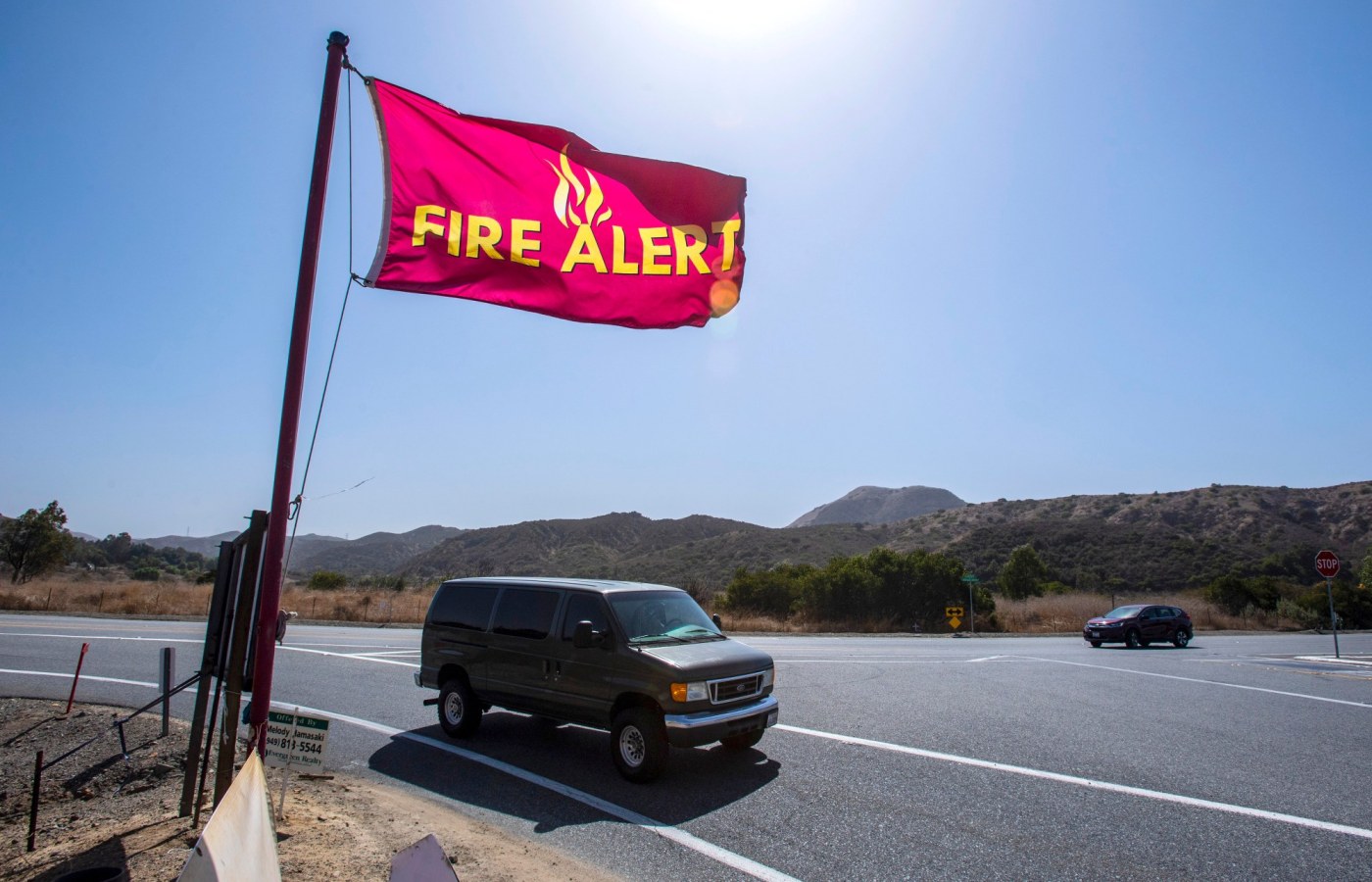
An ordinance approving updated maps from the California Department of Forestry and Fire Protection (commonly known as CalFire) designating fire hazard severity zones for 2025 in Yorba Linda has been adopted by the City Council.
The maps outline “local responsibility areas” within Yorba Linda and indicate little change from maps adopted during a previous comprehensive review in 2007.
First and second readings of the ordinance came at the council’s June 17 and July 15 meetings.
The maps are developed using scientific analysis of vegetation, topography, fire weather and wind patterns to identify areas at risk for wildfire, according to a report to councilmembers by Christopher Pena, the city’s emergency management coordinator.
“The updated maps are a critical tool in wildfire risk assessment and will guide the city’s code implementation, emergency preparedness efforts and defensible space requirements,” Pena said.
“Although these maps do not change existing land use regulations, they do inform important mitigation and planning decisions,” Pena noted. State law requires cities to adopt the revised versions of the maps within 120 days of receipt.
Another state requirement was for the city to conduct a public review and comment period on the maps, which the city fulfilled by hosting a survey on the city’s website from April 1 through May 7.
Officials reported, “No public comments were submitted during this period.”
In Yorba Linda, more than 6,500 acres have been designated as falling within moderate-, high- or very-high fire hazard severity zones, with more than 4,700 acres identified as very-high fire hazard severity zones, according to Pena.
The 20-square-mile city has about 12,800 acres.
The Orange County Fire Authority compared the revised maps and the severity categories (moderate, high and very high) as they affect Yorba Linda with the previous maps that were issued 2007-11, Pena said.
The data showed a reduction in the number of acres and buildings that are considered to be in moderate- and high-severity zones, with 566 acres and 595 buildings, but a small increase in the very-high fire hazard severity zone, with 53 acres and 173 buildings, Pena reported.
The map can be found at yorbalindaca.gov.
“The new fire hazard safety zone designations will trigger stricter fire-resistant construction standards in affected areas, mandatory defensible space requirements for properties in very high zones and additional real estate disclosure obligations,” Pena noted.
Yorba Linda also has collaborated with the Orange County Fire Authority and the Yorba Linda Water District in issuing a joint letter for residents to share with insurance providers, outlining the community’s wildfire mitigation measures, Pena said.
Jim Drummond is a longtime Yorba Linda resident. He gives his opinion on local issues weekly. Send e-mail to jimdrummond@hotmail.com.