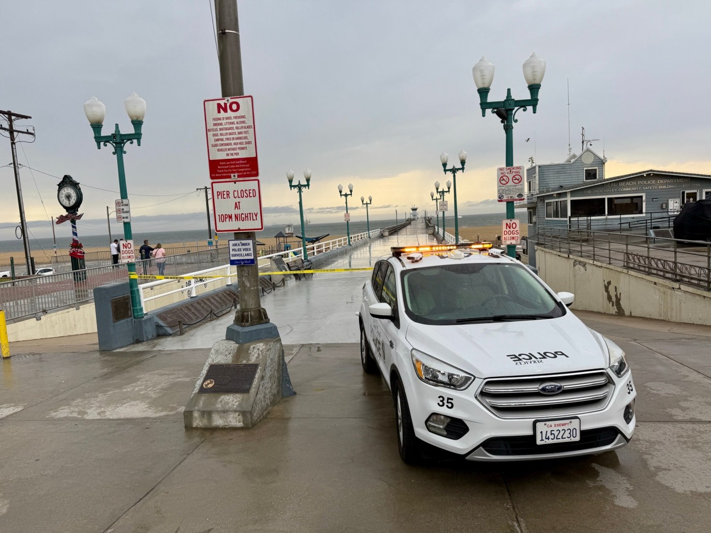
Booming thunderstorms, lightning strikes, bursts of heavy rain and even pea-sized hail hit parts of Southern California on Tuesday afternoon, prompting flash flood warnings around the region and temporarily closing beaches.
The National Weather Service warned of life-threatening flooding, dangerous driving conditions, and the risk of lightning near the coastline.
Most areas in Los Angeles, Orange, and southern Riverside counties recorded about a quarter inch of rain, though heavier downpours hit parts of the Inland Empire, where radar showed 0.5 to 1.25 inches in areas under advisories and up to 2 inches in isolated spots under flash flood warnings.
Los Angeles County
A flash flood warning was in effect until 7 p.m. for Santa Clarita, Granada Hills, and Sylmar, where isolated thunderstorms brought heavy rain, gusty winds, and possible hail. Most of the county saw around a quarter inch of rain, but some areas experienced only trace amounts.
Eastern Los Angeles County saw pea-sized hail, NWS meteorologist Todd Hall said.
“We actually have a broad area of central and southern Los Angeles County in the flood advisories,” said NWS meteorologist Ariel Cohen. “That’s because we have numerous areas that have experienced moderate to heavy rainfall in isolated spots of heavy rain.”
Cohen said light to moderate showers and thunderstorms were expected to taper off between 7 and 8 p.m.
Orange County
Rainfall totals along the Orange County coast hovered around a quarter inch, with lingering thunderstorms continuing into the evening. A flash flood warning was issued for northern Orange County, and a flood advisory would remain in place through 8 p.m., warning of minor flooding in low-lying and poorly drained areas.
Cities affected by the advisory included Anaheim, Santa Ana, Huntington Beach, and Fullerton, where 0.5 to 1 inch of rain had already fallen.
A beach hazards statement also remained in effect through Tuesday night, with elevated surf between 3 to 5 feet, occasional 6-foot sets, strong rip currents, and lightning risks along the coast.
Inland Empire
The heaviest rainfall Tuesday hit parts of the Inland Empire, especially in northern Riverside and San Bernardino counties, where a flash flood warning was in effect until 7:15 p.m.
The warning covered cities such as Riverside, San Bernardino, Fontana, Moreno Valley, Rancho Cucamonga, and Chino Hills. Rainfall rates ranged from 0.25 to 0.75 inches per hour, with radar indicating 1 to 2 inches in some locations. Forecasters warned that flash flooding was ongoing or imminent, with an additional 0.5 to 1.5 inches possible.
There were also reports of hail in some inland areas, meteorologist Paul Steward said. NWS confirmed pea-sized hail falling in Hemet in the afternoon.
A flood advisory was also active through 8 p.m. for cities including Corona, Temecula, Hemet, Lake Elsinore, and Perris, where 0.5 to 1.25 inches had already fallen. In southern Riverside County, areas like Corona saw around a quarter inch, with less intense storm activity compared to the north.
“We’ll be seeing some light rain and thunderstorms over the next few hours,” NWS meteorologist Adam Roser said of the region. “It looks like by tomorrow, the storm chance will be pretty low.”
By Wednesday, forecasters expect calmer, drier weather, with temperatures reaching the low to mid-70s across most of Southern California.