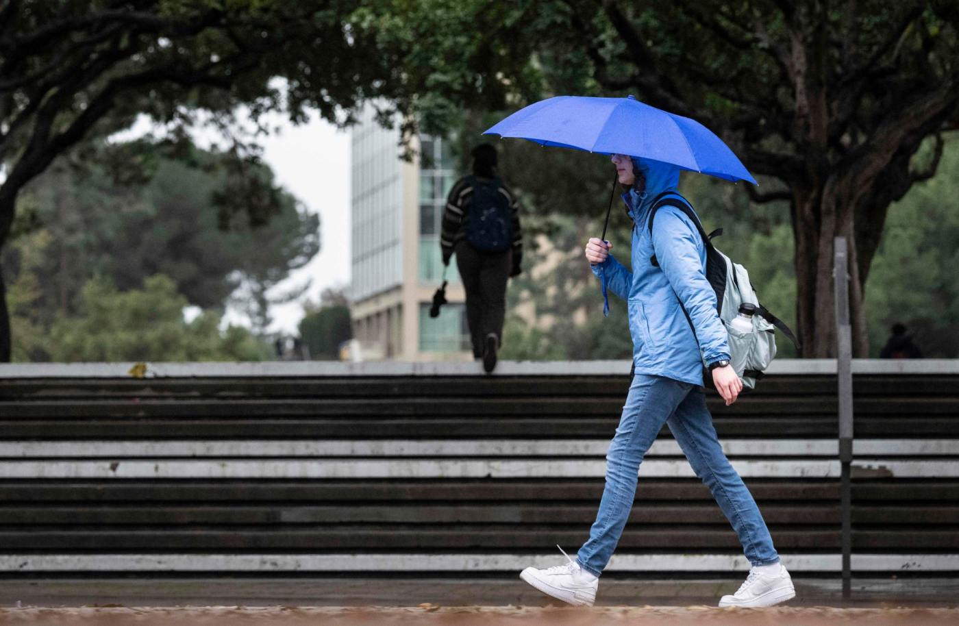
Get ready for some wet, wild weather.
The remnants of Tropical Storm Mario are expected to bring rain, thunderstorms, muggy weather and maybe even small tornadoes. The system is expected to start to show late Wednesday, with the brunt hitting on Thursday before tapering off Friday and into the weekend.
The storms will be widespread — affecting the coastal regions, deserts and mountains — pushing first from Mexico into San Diego County before hitting Orange, Riverside, San Bernardino and Los Angeles counties, said National Weather Service meteorologist Lauren Villafane.
Heading into the weekend, there will still be chances of scattered rain, as well as marine fog in the mornings along the coast.
NWS Los Angeles division meteorologist Mike Wofford said there will be thunderstorms and highly variable, heavier cells that could bring severe weather, even small, isolated tornadoes.

“Some of our computer models indicate severe weather as it comes through,” Wofford said. “It could not just be a fun, nice little storm. There could be some significant impacts; we want to make sure people are aware of that possibility.”
The amount of rain is hard to predict, he said, but in general, areas will see a tenth of an inch to a half inch of rain, some areas more than an inch.
Wofford said they will be keeping an eye on heavy downpours in rain-scarred areas of the region for flooding hazards.
“That’s definitely a possibility,” he said.
Friday morning will have residual showers, but it should dry up by the afternoon.
But don’t put the umbrellas away just yet – another tropical storm is brewing and could bring showers later in the weekend or early next week.
“We may not be out of the woods yet,” Wofford said.
Following months of dry weather, the rain may flush trash and debris down to the coast, just in time for California Coastal Cleanup Day on Saturday, Sept. 20.